Cleland Conservation Park - Sugarloaf Hill
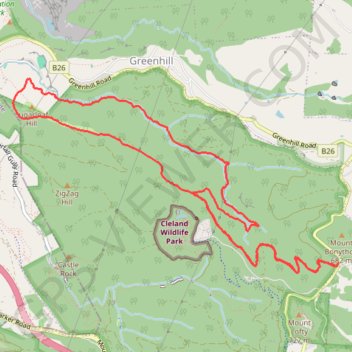
Interactive trail map
Trail profile
- Distance: 12.8 Km
- Elevation gain: 600 m
- Maximum elevation: 630 m
- Elevation loss: 600 m
- Minimum elevation: 251 m
- Moving time: 2 h 22 m
- Moving speed: 5.4 Km/h
- Maximum speed: 8.1 Km/h
- Total time: 2 h 22 m
- Global speed: 5.4 Km/h
About this trail
Name: Cleland Conservation Park - Sugarloaf Hill trail, distance, elevation, map, profile, GPS track
Coordinates: -34.97018 138.67581 -34.95166 138.71368
Topography: South Australia topographic map, elevation, terrain
Other hiking, mountain biking, running and outdoor activity trails
Click on a trail to view its statistics, map and profile.