Orchard Trail
Interactive trail map
Trail profile
- Distance: 5.1 Km
- Elevation gain: 84 m
- Maximum elevation: 140 m
- Elevation loss: 84 m
- Minimum elevation: 86 m
About this trail
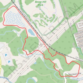
Name: Orchard Trail trail, distance, elevation, map, profile, GPS track
Coordinates: 43.81388 -79.17186 43.82634 -79.15313
Other hiking, mountain biking, running and outdoor activity trails
Click on a trail to view its statistics, map and profile.
Toronto - Oshawa
Canada > Ontario > Old Toronto
#Bike
Distance: 67.3 Km • Elevation gain: 457 m • Maximum elevation: 183 m