JDRF Murray River Raid
Interactive trail map
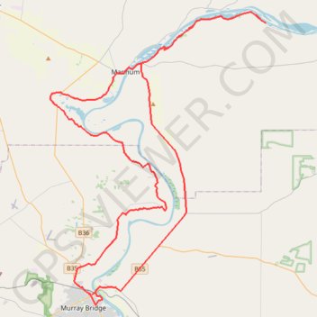
Trail profile
- Distance: 114.9 Km
- Elevation gain: 889 m
- Maximum elevation: 98 m
- Elevation loss: 889 m
- Minimum elevation: 2 m
About this trail
Name: JDRF Murray River Raid trail, distance, elevation, map, profile, GPS track
Coordinates: -35.12876 139.22828 -34.85828 139.47159
Topography: The Rural City of Murray Bridge topographic map, elevation, terrain
Other hiking, mountain biking, running and outdoor activity trails
Click on a trail to view its statistics, map and profile.