Falls Creek Loop
Interactive trail map
Trail profile
About this trail
Name: Falls Creek Loop trail, distance, elevation, map, profile, GPS track
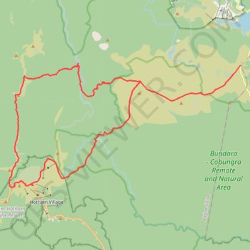
Start: Cope Hut Track, Falls Creek, Alpine Shire, Victoria, Australia (-36.90557 147.28941)
End: Australian Alps Walking Track, Falls Creek, Alpine Shire, Victoria, Australia (-36.91556 147.21588)
Coordinates: -36.97629 147.12098 -36.90420 147.28941
Topography: Victoria topographic map, elevation, terrain
Other hiking, mountain biking, running and outdoor activity trails
Click on a trail to view its statistics, map and profile.
Mount Jaithmathang to Falls Creek
Falls, Jaithmathang, Bogong
Distance: 15.3 Km • Elevation gain: 519 m • Maximum elevation: 1,826 m
Fainter Firetrail to Mount Fainter in Alpine National Park
Australia > Victoria > Falls Creek Alpine Resort > Falls Creek
Distance: 40.9 Km • Elevation gain: 957 m • Maximum elevation: 1,837 m
Ski Up to Mount Cope
Mount Cope Ski Track
Distance: 1.8 Km • Elevation gain: 134 m • Maximum elevation: 1,816 m