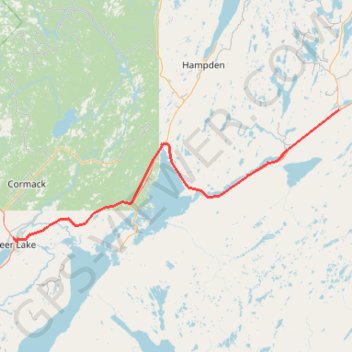
Deer Lake - Sheppardville
#Bike #Deer #Sheppardville #Newfoundland
- Distance: 96.0 Km
- Elevation gain: 529 m
- Maximum elevation: 153 m
- Elevation loss: 470 m
- Minimum elevation: 11 m
Interactive trail map
Trail profile
- Distance: 96.0 Km
- Elevation gain: 529 m
- Maximum elevation: 153 m
- Elevation loss: 470 m
- Minimum elevation: 11 m
About this trail
Name: Deer Lake - Sheppardville trail, distance, elevation, map, profile, GPS track
Coordinates: 49.18832 -57.43436 49.44532 -56.46053
Other hiking, mountain biking, running and outdoor activity trails
Click on a trail to view its statistics, map and profile.
Corner Brook - Deer Lake
Canada > Newfoundland and Labrador > Corner Brook
#Bike #CornerBrook #Deer #Newfoundland
Distance: 64.2 Km • Elevation gain: 446 m • Maximum elevation: 137 m