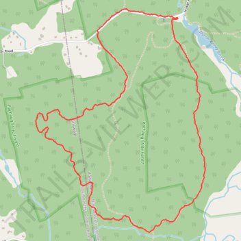
Loop hike from Kinne Cemetery - Pachaug State Park
- Distance: 6.5 Km
- Elevation gain: 122 m
- Maximum elevation: 154 m
- Elevation loss: 122 m
- Minimum elevation: 74 m
- Moving time: 1 h 16 m
- Moving speed: 5.1 Km/h
- Maximum speed: 8.5 Km/h
- Total time: 1 h 19 m
- Global speed: 4.9 Km/h
Interactive trail map
Trail profile
- Distance: 6.5 Km
- Elevation gain: 122 m
- Maximum elevation: 154 m
- Elevation loss: 122 m
- Minimum elevation: 74 m
- Moving time: 1 h 16 m
- Moving speed: 5.1 Km/h
- Maximum speed: 8.5 Km/h
- Total time: 1 h 19 m
- Global speed: 4.9 Km/h
About this trail
Name: Loop hike from Kinne Cemetery - Pachaug State Park trail, distance, elevation, map, profile, GPS track
Coordinates: 41.52566 -71.87103 41.54207 -71.85438
Other hiking, mountain biking, running and outdoor activity trails
Click on a trail to view its statistics, map and profile.
Pachaug Hodge Pond Large Loop
United States > Connecticut > Northeastern Connecticut Planning Region > Voluntown
Distance: 10.6 Km • Elevation gain: 219 m • Maximum elevation: 154 m