Import a GPX file

Mause Creek/Tangle Foot Trail

#Hiking #Lake #Forest #Mountain #Nature

  • Distance: 8.6 Km
  • Elevation gain: 641 m
  • Maximum elevation: 2,245 m
  • Elevation loss: 641 m
  • Minimum elevation: 1,755 m

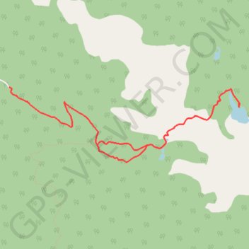
Interactive trail map

Trail profile

  • Distance: 8.6 Km
  • Elevation gain: 641 m
  • Maximum elevation: 2,245 m
  • Elevation loss: 641 m
  • Minimum elevation: 1,755 m

About this trail

Gear up for your next adventure:

🥾Hiking Shoes - Lightweight hiking shoes for day hikes
🖼️Scratch-off Australia Map - Track the regions and peaks you have explored geographically
Altimeter Watches - Watches with altitude tracking
👟Lightweight Trail Runners - Agile footwear for fast movement over rugged Australian terrain
🔭Compact Hiking Binoculars - Lightweight optics for scouting routes or birdwatching

As an Amazon Associate, this site earns from qualifying purchases at no extra cost to you.