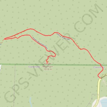
Import a GPX file

Potato Mountain

Hike to Potato Mountain via the Palmer Evey Trail in the Angeles National Forest. #Hiking #Mountain #Nature #Forest #Angeles

  • Distance: 3.6 Km
  • Elevation gain: 338 m
  • Maximum elevation: 1,036 m
  • Elevation loss: 20 m
  • Minimum elevation: 707 m

Interactive trail map

Trail profile

  • Distance: 3.6 Km
  • Elevation gain: 338 m
  • Maximum elevation: 1,036 m
  • Elevation loss: 20 m
  • Minimum elevation: 707 m

About this trail

Name: Potato Mountain trail, distance, elevation, map, profile, GPS track

Start: Palmer Evey Motorway, Claremont, Los Angeles County, California, 91784, United States (34.16310 -117.68214)

End: Potato Mountain Trail, Los Angeles County, California, 91784, United States (34.16535 -117.69199)

Coordinates: 34.16310 -117.70004 34.17066 -117.68170

Gear up for your next adventure:

🦘Outback Survival Gear - Essential gear for Australian outback
🧥Softshell Jackets - Flexible outdoor jackets
🦟Insect Repellent - Protection against insects
🧺Fast-Dry Microfiber Towels - Large towels that pack down to the size of an orange
🪫Rechargeable Headlamps - USB rechargeable headlamps

As an Amazon Associate, this site earns from qualifying purchases at no extra cost to you.