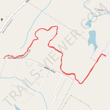
Buffalo Creek Preserve Trail
- Distance: 3.4 Km
- Elevation gain: 45 m
- Maximum elevation: 199 m
- Elevation loss: 47 m
- Minimum elevation: 170 m
- Moving time: 55 m
- Moving speed: 3.7 Km/h
- Maximum speed: 9.1 Km/h
- Total time: 1 h 16 m
- Global speed: 2.7 Km/h
Interactive trail map
Trail profile
- Distance: 3.4 Km
- Elevation gain: 45 m
- Maximum elevation: 199 m
- Elevation loss: 47 m
- Minimum elevation: 170 m
- Moving time: 55 m
- Moving speed: 3.7 Km/h
- Maximum speed: 9.1 Km/h
- Total time: 1 h 16 m
- Global speed: 2.7 Km/h
About this trail
Name: Buffalo Creek Preserve Trail trail, distance, elevation, map, profile, GPS track
Coordinates: 35.37740 -80.44456 35.38186 -80.43491