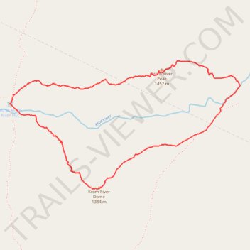
Krom River Peak and Krom River Dome Loop Trail in Hawzqwa Nature Preserve
- Distance: 6.3 Km
- Elevation gain: 567 m
- Maximum elevation: 1,451 m
- Elevation loss: 568 m
- Minimum elevation: 987 m
- Moving time: 2 h 59 m
- Moving speed: 2.1 Km/h
- Maximum speed: 4.8 Km/h
- Total time: 4 h 26 m
- Global speed: 1.4 Km/h
Interactive trail map
Trail profile
- Distance: 6.3 Km
- Elevation gain: 567 m
- Maximum elevation: 1,451 m
- Elevation loss: 568 m
- Minimum elevation: 987 m
- Moving time: 2 h 59 m
- Moving speed: 2.1 Km/h
- Maximum speed: 4.8 Km/h
- Total time: 4 h 26 m
- Global speed: 1.4 Km/h
About this trail
Name: Krom River Peak and Krom River Dome Loop Trail in Hawzqwa Nature Preserve trail, distance, elevation, map, profile, GPS track
Coordinates: -33.70245 19.11407 -33.69149 19.13776