Import a GPX file

Hite Cove

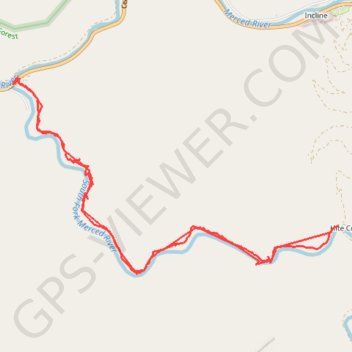
Hike to Hite Cove along South Fork Merced River via Hites Cove Trail in the Sierra National Forest. #Hiking #Mountain #River #Forest #Nature

  • Distance: 12.0 Km
  • Elevation gain: 672 m
  • Maximum elevation: 522 m
  • Elevation loss: 673 m
  • Minimum elevation: 433 m

Interactive trail map

Trail profile

  • Distance: 12.0 Km
  • Elevation gain: 672 m
  • Maximum elevation: 522 m
  • Elevation loss: 673 m
  • Minimum elevation: 433 m

About this trail
Gear up for your next adventure:

🧳Outdoor Travel Organizers - Gear organization accessories
🥶Thermal Beanies - Warm hats for cold hikes
🧯Animal Deterrent Spray - Safety spray for wildlife
📡Weather Radios - Emergency weather radios
🪑Portable Backpacking Chairs - A comfortable seat for studying maps at the end of the day

As an Amazon Associate, this site earns from qualifying purchases at no extra cost to you.