Oneonta Recreation Park Loop Run
- Distance: 4.5 Km
- Elevation gain: 75 m
- Maximum elevation: 270 m
- Elevation loss: 76 m
- Minimum elevation: 244 m
- Moving time: 53 m 40 s
- Moving speed: 5.1 Km/h
- Maximum speed: 10.4 Km/h
- Total time: 55 m 9 s
- Global speed: 4.9 Km/h
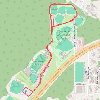
Interactive trail map
Trail profile
- Distance: 4.5 Km
- Elevation gain: 75 m
- Maximum elevation: 270 m
- Elevation loss: 76 m
- Minimum elevation: 244 m
- Moving time: 53 m 40 s
- Moving speed: 5.1 Km/h
- Maximum speed: 10.4 Km/h
- Total time: 55 m 9 s
- Global speed: 4.9 Km/h
About this trail
Name: Oneonta Recreation Park Loop Run trail, distance, elevation, map, profile, GPS track
Start: Lewis Fortenberry Drive, Oneonta, Blount County, Alabama, 35121, United States (33.94162 -86.49156)
End: Lewis Fortenberry Drive, Oneonta, Blount County, Alabama, 35121, United States (33.94176 -86.49126)
Coordinates: 33.93611 -86.49468 33.94338 -86.48951