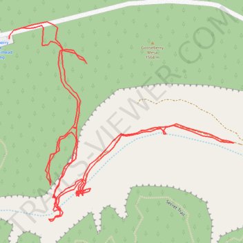
Gooseberry-springs-little-plain
- Distance: 3.2 Km
- Elevation gain: 130 m
- Maximum elevation: 1,574 m
- Elevation loss: 129 m
- Minimum elevation: 1,475 m
- Moving time: 1 h 3 m
- Moving speed: 3.0 Km/h
- Maximum speed: 5.3 Km/h
- Total time: 3 h 42 m
- Global speed: 0.9 Km/h
Interactive trail map
Trail profile
- Distance: 3.2 Km
- Elevation gain: 130 m
- Maximum elevation: 1,574 m
- Elevation loss: 129 m
- Minimum elevation: 1,475 m
- Moving time: 1 h 3 m
- Moving speed: 3.0 Km/h
- Maximum speed: 5.3 Km/h
- Total time: 3 h 42 m
- Global speed: 0.9 Km/h
About this trail
Name: Gooseberry-springs-little-plain trail, distance, elevation, map, profile, GPS track
Start: Apple Valley, Washington County, Utah, United States (37.14196 -113.17090)
Coordinates: 37.13789 -113.17122 37.14209 -113.16528