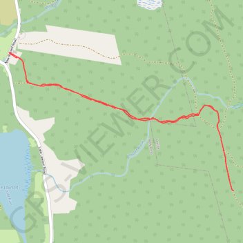
Popner Hill Trail
- Distance: 6.3 Km
- Elevation gain: 113 m
- Maximum elevation: 219 m
- Elevation loss: 113 m
- Minimum elevation: 109 m
- Moving time: 1 h 26 m
- Moving speed: 4.4 Km/h
- Maximum speed: 8.2 Km/h
- Total time: 1 h 38 m
- Global speed: 3.8 Km/h
Interactive trail map
Trail profile
- Distance: 6.3 Km
- Elevation gain: 113 m
- Maximum elevation: 219 m
- Elevation loss: 113 m
- Minimum elevation: 109 m
- Moving time: 1 h 26 m
- Moving speed: 4.4 Km/h
- Maximum speed: 8.2 Km/h
- Total time: 1 h 38 m
- Global speed: 3.8 Km/h
About this trail
Name: Popner Hill Trail trail, distance, elevation, map, profile, GPS track
Coordinates: 44.72479 -64.45041 44.73640 -64.42386