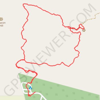
Trails at Zvakanaka
- Distance: 3.8 Km
- Elevation gain: 191 m
- Maximum elevation: 1,426 m
- Elevation loss: 196 m
- Minimum elevation: 1,258 m
- Moving time: 1 h 11 m
- Moving speed: 3.2 Km/h
- Maximum speed: 9.1 Km/h
- Total time: 1 h 28 m
- Global speed: 2.5 Km/h
Interactive trail map
Trail profile
- Distance: 3.8 Km
- Elevation gain: 191 m
- Maximum elevation: 1,426 m
- Elevation loss: 196 m
- Minimum elevation: 1,258 m
- Moving time: 1 h 11 m
- Moving speed: 3.2 Km/h
- Maximum speed: 9.1 Km/h
- Total time: 1 h 28 m
- Global speed: 2.5 Km/h
About this trail
Name: Trails at Zvakanaka trail, distance, elevation, map, profile, GPS track
Coordinates: -22.97680 29.95099 -22.96934 29.95698