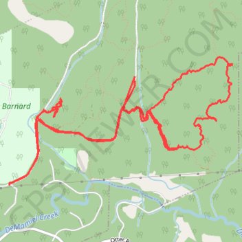
Trail, Boneyard Main trails, Sooke, BC
- Distance: 12.0 Km
- Elevation gain: 397 m
- Maximum elevation: 262 m
- Elevation loss: 397 m
- Minimum elevation: 83 m
- Moving time: 3 h 6 m
- Moving speed: 3.9 Km/h
- Maximum speed: 38.0 Km/h
- Total time: 5 h 25 m
- Global speed: 2.2 Km/h
Interactive trail map
Trail profile
- Distance: 12.0 Km
- Elevation gain: 397 m
- Maximum elevation: 262 m
- Elevation loss: 397 m
- Minimum elevation: 83 m
- Moving time: 3 h 6 m
- Moving speed: 3.9 Km/h
- Maximum speed: 38.0 Km/h
- Total time: 5 h 25 m
- Global speed: 2.2 Km/h
About this trail
Name: Trail, Boneyard Main trails, Sooke, BC trail, distance, elevation, map, profile, GPS track
Coordinates: 48.40137 -123.76065 48.41253 -123.73122