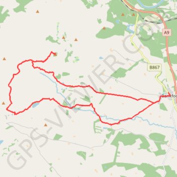
Craig Gibbon and Mercer Obelisk Loop
- Distance: 24.0 Km
- Elevation gain: 522 m
- Maximum elevation: 401 m
- Elevation loss: 526 m
- Minimum elevation: 69 m
- Moving time: 2 h 6 m
- Moving speed: 11.4 Km/h
- Maximum speed: 29.8 Km/h
- Total time: 2 h 50 m
- Global speed: 8.4 Km/h
Interactive trail map
Trail profile
- Distance: 24.0 Km
- Elevation gain: 522 m
- Maximum elevation: 401 m
- Elevation loss: 526 m
- Minimum elevation: 69 m
- Moving time: 2 h 6 m
- Moving speed: 11.4 Km/h
- Maximum speed: 29.8 Km/h
- Total time: 2 h 50 m
- Global speed: 8.4 Km/h
About this trail
Name: Craig Gibbon and Mercer Obelisk Loop trail, distance, elevation, map, profile, GPS track
End: Main Street, Bankfoot, Perth and Kinross, Scotland, PH1 4AB, United Kingdom (56.50151 -3.51637)
Coordinates: 56.48721 -3.64650 56.51983 -3.51477
Other hiking, mountain biking, running and outdoor activity trails
Click on a trail to view its statistics, map and profile.
Kinclaven Wood - Stanley - Bankfoot Loop
United Kingdom > Scotland > Perth and Kinross > Newlands
Distance: 43.0 Km • Elevation gain: 547 m • Maximum elevation: 137 m