Ty'n Towyn walk to Quarry No 5 to climb
- Distance: 4.2 Km
- Elevation gain: 169 m
- Maximum elevation: 98 m
- Elevation loss: 171 m
- Minimum elevation: 1 m
- Moving time: 1 h 28 m
- Moving speed: 2.9 Km/h
- Maximum speed: 5.8 Km/h
- Total time: 4 h 15 m
- Global speed: 1.0 Km/h
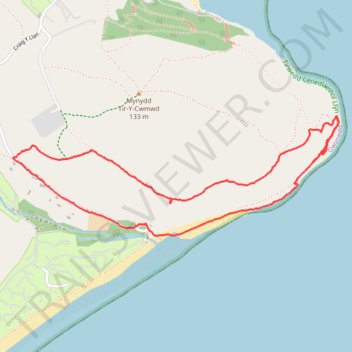
Interactive trail map
Trail profile
- Distance: 4.2 Km
- Elevation gain: 169 m
- Maximum elevation: 98 m
- Elevation loss: 171 m
- Minimum elevation: 1 m
- Moving time: 1 h 28 m
- Moving speed: 2.9 Km/h
- Maximum speed: 5.8 Km/h
- Total time: 4 h 15 m
- Global speed: 1.0 Km/h
About this trail
Name: Ty'n Towyn walk to Quarry No 5 to climb trail, distance, elevation, map, profile, GPS track
Start: Llanbedrog, Gwynedd, Wales, LL53 7UW, United Kingdom (52.84496 -4.48242)
End: Llanbedrog, Gwynedd, Wales, LL53 7UW, United Kingdom (52.84493 -4.48242)
Coordinates: 52.84446 -4.49094 52.84914 -4.46999