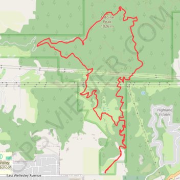
Antoine Peak Arrowleaf-West Arrowleaf loop
- Distance: 13.0 Km
- Elevation gain: 506 m
- Maximum elevation: 1,025 m
- Elevation loss: 506 m
- Minimum elevation: 635 m
- Moving time: 2 h 41 m
- Moving speed: 4.8 Km/h
- Maximum speed: 9.9 Km/h
- Total time: 3 h 4 m
- Global speed: 4.2 Km/h
Interactive trail map
Trail profile
- Distance: 13.0 Km
- Elevation gain: 506 m
- Maximum elevation: 1,025 m
- Elevation loss: 506 m
- Minimum elevation: 635 m
- Moving time: 2 h 41 m
- Moving speed: 4.8 Km/h
- Maximum speed: 9.9 Km/h
- Total time: 3 h 4 m
- Global speed: 4.2 Km/h
About this trail
Name: Antoine Peak Arrowleaf-West Arrowleaf loop trail, distance, elevation, map, profile, GPS track
Coordinates: 47.70081 -117.18584 47.72644 -117.16176