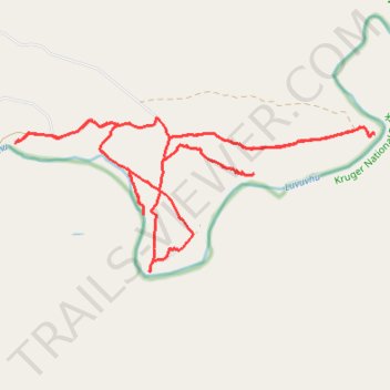
Makuya Nature Reserve
- Distance: 25.9 Km
- Elevation gain: 398 m
- Maximum elevation: 362 m
- Elevation loss: 398 m
- Minimum elevation: 278 m
- Moving time: 3 h 16 m
- Moving speed: 7.9 Km/h
- Maximum speed: 21.4 Km/h
- Total time: 5 h 4 m
- Global speed: 5.1 Km/h
Interactive trail map
Trail profile
- Distance: 25.9 Km
- Elevation gain: 398 m
- Maximum elevation: 362 m
- Elevation loss: 398 m
- Minimum elevation: 278 m
- Moving time: 3 h 16 m
- Moving speed: 7.9 Km/h
- Maximum speed: 21.4 Km/h
- Total time: 5 h 4 m
- Global speed: 5.1 Km/h
About this trail
Name: Makuya Nature Reserve trail, distance, elevation, map, profile, GPS track
Coordinates: -22.52222 30.99472 -22.49767 31.05703