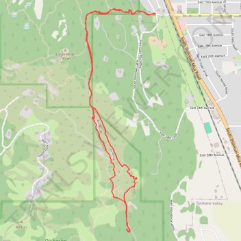
Dishman Hills Conservation Area loop hike
- Distance: 6.0 Km
- Elevation gain: 188 m
- Maximum elevation: 733 m
- Elevation loss: 188 m
- Minimum elevation: 613 m
- Moving time: 1 h 23 m
- Moving speed: 4.3 Km/h
- Maximum speed: 6.8 Km/h
- Total time: 1 h 27 m
- Global speed: 4.1 Km/h
Interactive trail map
Trail profile
- Distance: 6.0 Km
- Elevation gain: 188 m
- Maximum elevation: 733 m
- Elevation loss: 188 m
- Minimum elevation: 613 m
- Moving time: 1 h 23 m
- Moving speed: 4.3 Km/h
- Maximum speed: 6.8 Km/h
- Total time: 1 h 27 m
- Global speed: 4.1 Km/h
About this trail
Name: Dishman Hills Conservation Area loop hike trail, distance, elevation, map, profile, GPS track
Coordinates: 47.62553 -117.28374 47.64286 -117.27565