Import a GPX file

Horseshoe Bend Viewpoint

Glen Canyon National Recreation Area. Colorado River. #Hiking #Canyon #River #Nature

  • Distance: 2.6 Km
  • Elevation gain: 224 m
  • Maximum elevation: 1,318 m
  • Elevation loss: 224 m
  • Minimum elevation: 1,208 m

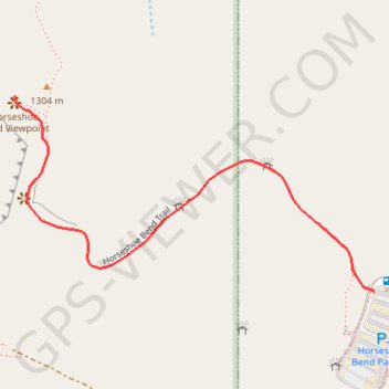
Interactive trail map

Trail profile

  • Distance: 2.6 Km
  • Elevation gain: 224 m
  • Maximum elevation: 1,318 m
  • Elevation loss: 224 m
  • Minimum elevation: 1,208 m

About this trail

Other hiking, mountain biking, running and outdoor activity trails

Click on a trail to view its statistics, map and profile.

Horseshoe Bend Viewpoint (Colorado River)

United States > Arizona > Coconino County > Page

Hike to the Horseshoe Bend Viewpoint above the Colorado River in the Glen Canyon National Recreation Area. #Hiking #Canyon #Mountain #Nature #River #Desert

Distance: 1.0 Km • Elevation gain: 0 m • Maximum elevation: 1,319 m

Gear up for your next adventure:

Lightweight Tents - Compact tents for backpacking
📸Action Cameras - Record your journey across interesting topographic features in 4K
Outdoor Coffee Makers - Enjoy quality coffee at the summit of your favorite peak
🛌Sleeping Mats - Insulated mats for camping comfort
🎽Hiking Clothing - Breathable clothing for hiking

As an Amazon Associate, this site earns from qualifying purchases at no extra cost to you.