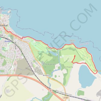
Dunbar Camping & Caravanning site to Tyninghame
- Distance: 5.5 Km
- Elevation gain: 38 m
- Maximum elevation: 24 m
- Elevation loss: 35 m
- Minimum elevation: 0 m
- Moving time: 1 h 22 m
- Moving speed: 4.0 Km/h
- Maximum speed: 5.8 Km/h
- Total time: 1 h 37 m
- Global speed: 3.4 Km/h
Interactive trail map
Trail profile
- Distance: 5.5 Km
- Elevation gain: 38 m
- Maximum elevation: 24 m
- Elevation loss: 35 m
- Minimum elevation: 0 m
- Moving time: 1 h 22 m
- Moving speed: 4.0 Km/h
- Maximum speed: 5.8 Km/h
- Total time: 1 h 37 m
- Global speed: 3.4 Km/h
About this trail
Name: Dunbar Camping & Caravanning site to Tyninghame trail, distance, elevation, map, profile, GPS track
End: High Street, Belhaven, Dunbar, East Lothian, Scotland, EH42 1EW, United Kingdom (56.00159 -2.51565)
Coordinates: 55.98829 -2.51565 56.00159 -2.46813