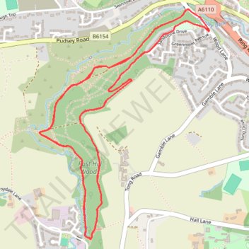
Import a GPX file

YVAA Pudsey 2025

  • Distance: 8.2 Km
  • Elevation gain: 184 m
  • Maximum elevation: 121 m
  • Elevation loss: 187 m
  • Minimum elevation: 64 m

Interactive trail map

Trail profile

  • Distance: 8.2 Km
  • Elevation gain: 184 m
  • Maximum elevation: 121 m
  • Elevation loss: 187 m
  • Minimum elevation: 64 m

About this trail

Gear up for your next adventure:

🩹Blister Prevention Tape - Apply to friction points before they become painful sores
🔋Rechargeable Batteries - Eco-friendly power for high-drain GPS units and flashlights
🪢550 Survival Paracord - Versatile cordage for gear repair and emergency lashing
🎒Daypacks - Compact backpacks for short hikes
📚Map Reading & Navigation Guides - Master the art of interpreting topographic contours and symbols

As an Amazon Associate, this site earns from qualifying purchases at no extra cost to you.