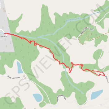
Roquena Trail through the woods near La Honda
- Distance: 3.0 Km
- Elevation gain: 130 m
- Maximum elevation: 359 m
- Elevation loss: 131 m
- Minimum elevation: 232 m
- Moving time: 47 m 7 s
- Moving speed: 3.8 Km/h
- Maximum speed: 5.8 Km/h
- Total time: 1 h 9 m
- Global speed: 2.6 Km/h
Interactive trail map
Trail profile
- Distance: 3.0 Km
- Elevation gain: 130 m
- Maximum elevation: 359 m
- Elevation loss: 131 m
- Minimum elevation: 232 m
- Moving time: 47 m 7 s
- Moving speed: 3.8 Km/h
- Maximum speed: 5.8 Km/h
- Total time: 1 h 9 m
- Global speed: 2.6 Km/h
About this trail
Name: Roquena Trail through the woods near La Honda trail, distance, elevation, map, profile, GPS track
Coordinates: 37.31871 -122.26232 37.32233 -122.25158