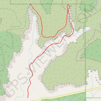
Import a GPX file

Jolley Gulch

Hike to the Jolley Gulch Viewpoint by the East Rim Trail in the Zion National Park. #Hiking #Canyon #Mountain #Nature #Forest #Zion

  • Distance: 4.6 Km
  • Elevation gain: 185 m
  • Maximum elevation: 1,898 m
  • Elevation loss: 65 m
  • Minimum elevation: 1,747 m

Interactive trail map

Trail profile

  • Distance: 4.6 Km
  • Elevation gain: 185 m
  • Maximum elevation: 1,898 m
  • Elevation loss: 65 m
  • Minimum elevation: 1,747 m

About this trail

Name: Jolley Gulch trail, distance, elevation, map, profile, GPS track

Start: Zion East Entrance parking lot, East Rim Trail, Kane County, Utah, United States (37.23430 -112.87749)

End: East Rim Trail, Kane County, Utah, United States (37.25196 -112.87716)

Coordinates: 37.23430 -112.87749 37.25236 -112.86636

Gear up for your next adventure:

🎒3L Hydration Reservoirs - Hands-free drinking to stay hydrated on steep contour climbs
GPS Watches - GPS watches for outdoor sports
📸Action Cameras - Record your journey across interesting topographic features in 4K
🧥Insulated Down Jackets - High warmth-to-weight ratio for cold nights in the high country
🕯️Emergency Whistles - Safety whistles for hiking

As an Amazon Associate, this site earns from qualifying purchases at no extra cost to you.