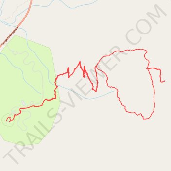
Curry Ridge Trail from Kesugi Ken campground in Denali State Park
- Distance: 14.4 Km
- Elevation gain: 422 m
- Maximum elevation: 578 m
- Elevation loss: 422 m
- Minimum elevation: 259 m
- Moving time: 3 h 44 m
- Moving speed: 3.8 Km/h
- Maximum speed: 11.0 Km/h
- Total time: 4 h 53 m
- Global speed: 2.9 Km/h
Interactive trail map
Trail profile
- Distance: 14.4 Km
- Elevation gain: 422 m
- Maximum elevation: 578 m
- Elevation loss: 422 m
- Minimum elevation: 259 m
- Moving time: 3 h 44 m
- Moving speed: 3.8 Km/h
- Maximum speed: 11.0 Km/h
- Total time: 4 h 53 m
- Global speed: 2.9 Km/h
About this trail
Name: Curry Ridge Trail from Kesugi Ken campground in Denali State Park trail, distance, elevation, map, profile, GPS track
Coordinates: 62.58999 -150.23106 62.60156 -150.17660
Other hiking, mountain biking, running and outdoor activity trails
Click on a trail to view its statistics, map and profile.
Road Trip Alaska 2018
United States > Alaska > Anchorage
From Anchorage.
Distance: 641.7 Km • Elevation gain: 4,791 m • Maximum elevation: 739 m