Canmore Walking Paths
- Distance: 4.3 Km
- Elevation gain: 11 m
- Maximum elevation: 1,321 m
- Elevation loss: 12 m
- Minimum elevation: 1,312 m
- Moving time: 1 h 12 m
- Moving speed: 3.6 Km/h
- Maximum speed: 8.2 Km/h
- Total time: 1 h 37 m
- Global speed: 2.7 Km/h
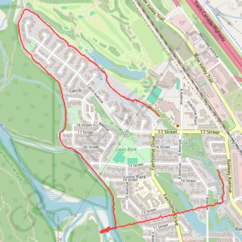
Interactive trail map
Trail profile
- Distance: 4.3 Km
- Elevation gain: 11 m
- Maximum elevation: 1,321 m
- Elevation loss: 12 m
- Minimum elevation: 1,312 m
- Moving time: 1 h 12 m
- Moving speed: 3.6 Km/h
- Maximum speed: 8.2 Km/h
- Total time: 1 h 37 m
- Global speed: 2.7 Km/h
About this trail
Name: Canmore Walking Paths trail, distance, elevation, map, profile, GPS track
Coordinates: 51.09125 -115.37848 51.10434 -115.35932