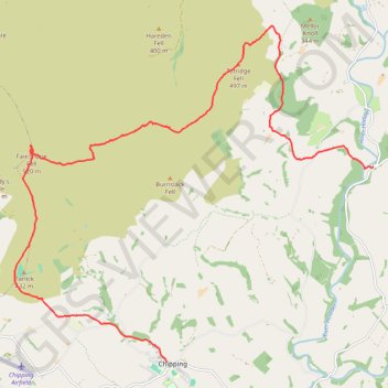
Whitewell to Chipping via Totridge Fell, Fair Snape Fell and Parlick hike
Forest of Bowand National Landscape, Lancashire
- Distance: 17.4 Km
- Elevation gain: 547 m
- Maximum elevation: 521 m
- Elevation loss: 538 m
- Minimum elevation: 102 m
- Moving time: 4 h 44 m
- Moving speed: 3.7 Km/h
- Maximum speed: 7.3 Km/h
- Total time: 6 h 16 m
- Global speed: 2.8 Km/h
Interactive trail map
Trail profile
- Distance: 17.4 Km
- Elevation gain: 547 m
- Maximum elevation: 521 m
- Elevation loss: 538 m
- Minimum elevation: 102 m
- Moving time: 4 h 44 m
- Moving speed: 3.7 Km/h
- Maximum speed: 7.3 Km/h
- Total time: 6 h 16 m
- Global speed: 2.8 Km/h
About this trail
Name: Whitewell to Chipping via Totridge Fell, Fair Snape Fell and Parlick hike trail, distance, elevation, map, profile, GPS track
Coordinates: 53.88517 -2.61933 53.93957 -2.52063