Walk - Ditchling Common, Burgess Hill, Hassocks, Keymer
- Distance: 18.6 Km
- Elevation gain: 154 m
- Maximum elevation: 73 m
- Elevation loss: 153 m
- Minimum elevation: 28 m
- Moving time: 4 h 4 m
- Moving speed: 4.6 Km/h
- Maximum speed: 8.6 Km/h
- Total time: 5 h 29 m
- Global speed: 3.4 Km/h
Interactive trail map
Trail profile
- Distance: 18.6 Km
- Elevation gain: 154 m
- Maximum elevation: 73 m
- Elevation loss: 153 m
- Minimum elevation: 28 m
- Moving time: 4 h 4 m
- Moving speed: 4.6 Km/h
- Maximum speed: 8.6 Km/h
- Total time: 5 h 29 m
- Global speed: 3.4 Km/h
About this trail
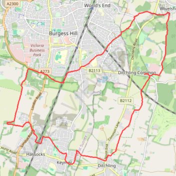
Name: Walk - Ditchling Common, Burgess Hill, Hassocks, Keymer trail, distance, elevation, map, profile, GPS track
Coordinates: 50.92150 -0.15790 50.96339 -0.08691
Other hiking, mountain biking, running and outdoor activity trails
Click on a trail to view its statistics, map and profile.
Loop walk between Ditchling Common and Plumpton Green
United Kingdom > England > East Sussex > Lewes > Ditchling Common
Distance: 18.5 Km • Elevation gain: 188 m • Maximum elevation: 76 m