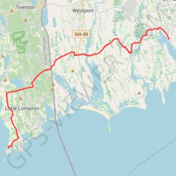
Dartmouth to Sakonnet Point
- Distance: 36.8 Km
- Elevation gain: 288 m
- Maximum elevation: 53 m
- Elevation loss: 289 m
- Minimum elevation: -2 m
Interactive trail map
Trail profile
- Distance: 36.8 Km
- Elevation gain: 288 m
- Maximum elevation: 53 m
- Elevation loss: 289 m
- Minimum elevation: -2 m
About this trail
Name: Dartmouth to Sakonnet Point trail, distance, elevation, map, profile, GPS track
Coordinates: 41.46396 -71.19452 41.60223 -70.94582