Effigy Mounds National Monument
- Distance: 9.4 Km
- Elevation gain: 230 m
- Maximum elevation: 332 m
- Elevation loss: 234 m
- Minimum elevation: 192 m
- Moving time: 2 h 14 m
- Moving speed: 4.2 Km/h
- Maximum speed: 8.2 Km/h
- Total time: 2 h 39 m
- Global speed: 3.6 Km/h
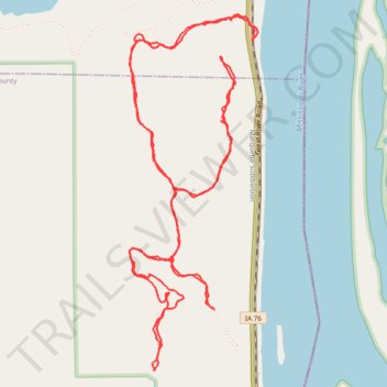
Interactive trail map
Trail profile
- Distance: 9.4 Km
- Elevation gain: 230 m
- Maximum elevation: 332 m
- Elevation loss: 234 m
- Minimum elevation: 192 m
- Moving time: 2 h 14 m
- Moving speed: 4.2 Km/h
- Maximum speed: 8.2 Km/h
- Total time: 2 h 39 m
- Global speed: 3.6 Km/h
About this trail
Name: Effigy Mounds National Monument trail, distance, elevation, map, profile, GPS track
Start: Great River Road, Allamakee County, Iowa, 52158, United States (43.08150 -91.18048)
End: Great River Road, Allamakee County, Iowa, 52158, United States (43.08155 -91.18043)
Coordinates: 43.06637 -91.18818 43.08272 -91.18016
Other hiking, mountain biking, running and outdoor activity trails
Click on a trail to view its statistics, map and profile.
Hike on the Marching Bear Group and Founder's Pond Overlook Trails at Effigy Mounds NM
United States > Iowa > Allamakee County
Distance: 8.8 Km • Elevation gain: 252 m • Maximum elevation: 332 m