Kate Kennard Trail
- Distance: 3.1 Km
- Elevation gain: 48 m
- Maximum elevation: 128 m
- Elevation loss: 48 m
- Minimum elevation: 93 m
- Moving time: 36 m 9 s
- Moving speed: 5.1 Km/h
- Maximum speed: 9.4 Km/h
- Total time: 38 m 17 s
- Global speed: 4.8 Km/h
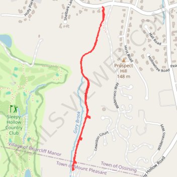
Interactive trail map
Trail profile
- Distance: 3.1 Km
- Elevation gain: 48 m
- Maximum elevation: 128 m
- Elevation loss: 48 m
- Minimum elevation: 93 m
- Moving time: 36 m 9 s
- Moving speed: 5.1 Km/h
- Maximum speed: 9.4 Km/h
- Total time: 38 m 17 s
- Global speed: 4.8 Km/h
About this trail
Name: Kate Kennard Trail trail, distance, elevation, map, profile, GPS track
Coordinates: 41.12174 -73.84522 41.13337 -73.84222
Other hiking, mountain biking, running and outdoor activity trails
Click on a trail to view its statistics, map and profile.