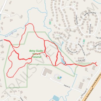
Betsy Sluder Nature Preserve Trails
- Distance: 4.4 Km
- Elevation gain: 102 m
- Maximum elevation: 189 m
- Elevation loss: 102 m
- Minimum elevation: 118 m
- Moving time: 1 h 4 m
- Moving speed: 4.1 Km/h
- Maximum speed: 9.6 Km/h
- Total time: 1 h 10 m
- Global speed: 3.8 Km/h
Interactive trail map
Trail profile
- Distance: 4.4 Km
- Elevation gain: 102 m
- Maximum elevation: 189 m
- Elevation loss: 102 m
- Minimum elevation: 118 m
- Moving time: 1 h 4 m
- Moving speed: 4.1 Km/h
- Maximum speed: 9.6 Km/h
- Total time: 1 h 10 m
- Global speed: 3.8 Km/h
About this trail
Name: Betsy Sluder Nature Preserve Trails trail, distance, elevation, map, profile, GPS track
Coordinates: 41.11951 -73.72889 41.12457 -73.71727
Other hiking, mountain biking, running and outdoor activity trails
Click on a trail to view its statistics, map and profile.