River Teme
- Distance: 3.4 Km
- Elevation gain: 21 m
- Maximum elevation: 38 m
- Elevation loss: 21 m
- Minimum elevation: 18 m
- Moving time: 49 m 39 s
- Moving speed: 4.1 Km/h
- Maximum speed: 9.6 Km/h
- Total time: 53 m 14 s
- Global speed: 3.9 Km/h
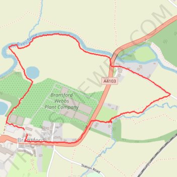
Interactive trail map
Trail profile
- Distance: 3.4 Km
- Elevation gain: 21 m
- Maximum elevation: 38 m
- Elevation loss: 21 m
- Minimum elevation: 18 m
- Moving time: 49 m 39 s
- Moving speed: 4.1 Km/h
- Maximum speed: 9.6 Km/h
- Total time: 53 m 14 s
- Global speed: 3.9 Km/h
About this trail
Name: River Teme trail, distance, elevation, map, profile, GPS track
Coordinates: 52.17152 -2.29916 52.17836 -2.28249