Fort Crowder
- Distance: 3.7 Km
- Elevation gain: 31 m
- Maximum elevation: 388 m
- Elevation loss: 43 m
- Minimum elevation: 353 m
- Moving time: 1 h 9 m
- Moving speed: 3.2 Km/h
- Maximum speed: 6.2 Km/h
- Total time: 1 h 13 m
- Global speed: 3.0 Km/h
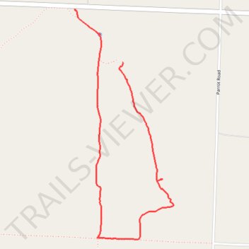
Interactive trail map
Trail profile
- Distance: 3.7 Km
- Elevation gain: 31 m
- Maximum elevation: 388 m
- Elevation loss: 43 m
- Minimum elevation: 353 m
- Moving time: 1 h 9 m
- Moving speed: 3.2 Km/h
- Maximum speed: 6.2 Km/h
- Total time: 1 h 13 m
- Global speed: 3.0 Km/h
About this trail
Name: Fort Crowder trail, distance, elevation, map, profile, GPS track
Start: MO HH, Sweetwater, Newton County, Missouri, 64850, United States (36.82453 -94.29594)
End: 19785, MO HH, Sweetwater, Newton County, Missouri, 64850, United States (36.82788 -94.29967)
Coordinates: 36.81345 -94.29967 36.82788 -94.29193