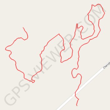
Main Loop
Hiking, Biking
- Distance: 1.9 Km
- Elevation gain: 19 m
- Maximum elevation: 475 m
- Elevation loss: 51 m
- Minimum elevation: 437 m
- Moving time: 21 m 26 s
- Moving speed: 5.4 Km/h
- Maximum speed: 17.4 Km/h
- Total time: 21 m 26 s
- Global speed: 5.4 Km/h
Interactive trail map
Trail profile
- Distance: 1.9 Km
- Elevation gain: 19 m
- Maximum elevation: 475 m
- Elevation loss: 51 m
- Minimum elevation: 437 m
- Moving time: 21 m 26 s
- Moving speed: 5.4 Km/h
- Maximum speed: 17.4 Km/h
- Total time: 21 m 26 s
- Global speed: 5.4 Km/h
About this trail
Name: Main Loop trail, distance, elevation, map, profile, GPS track
Start: Main Loop, Oakland Township, Venango County, Pennsylvania, United States (41.49885 -79.76324)
End: Longbeard Trail, Oakland Township, Venango County, Pennsylvania, United States (41.49588 -79.76050)
Coordinates: 41.49588 -79.76413 41.49974 -79.75911
Other hiking, mountain biking, running and outdoor activity trails
Click on a trail to view its statistics, map and profile.
Longbeard Trail - Red Diamond
United States > Pennsylvania > Venango County > Oakland Township
Hiking, Biking, Horseback Riding
Distance: 1.7 Km • Elevation gain: 58 m • Maximum elevation: 468 m
Long Beard Trail
United States > Pennsylvania > Venango County > Oakland Township > Dempseytown
Distance: 1.0 Km • Elevation gain: 44 m • Maximum elevation: 468 m