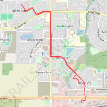
GoMap__2025_06_12__18_19_11
- Distance: 6.6 Km
- Elevation gain: 38 m
- Maximum elevation: 707 m
- Elevation loss: 36 m
- Minimum elevation: 679 m
Interactive trail map
Trail profile
- Distance: 6.6 Km
- Elevation gain: 38 m
- Maximum elevation: 707 m
- Elevation loss: 36 m
- Minimum elevation: 679 m
About this trail
Name: GoMap__2025_06_12__18_19_11 trail, distance, elevation, map, profile, GPS track
Coordinates: 53.54027 -113.94489 53.56092 -113.92250