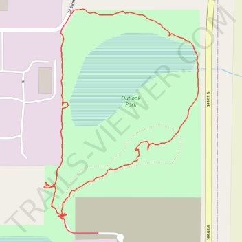
Outlook Park Loop
- Distance: 1.6 Km
- Elevation gain: 6 m
- Maximum elevation: 730 m
- Elevation loss: 6 m
- Minimum elevation: 724 m
- Moving time: 23 m 23 s
- Moving speed: 4.0 Km/h
- Maximum speed: 29.1 Km/h
- Total time: 32 m 8 s
- Global speed: 2.9 Km/h
Interactive trail map
Trail profile
- Distance: 1.6 Km
- Elevation gain: 6 m
- Maximum elevation: 730 m
- Elevation loss: 6 m
- Minimum elevation: 724 m
- Moving time: 23 m 23 s
- Moving speed: 4.0 Km/h
- Maximum speed: 29.1 Km/h
- Total time: 32 m 8 s
- Global speed: 2.9 Km/h
About this trail
Name: Outlook Park Loop trail, distance, elevation, map, profile, GPS track
Start: 33 Street, Leduc Business Park, City of Leduc, Alberta, T9E 0R8, Canada (53.29706 -113.51732)
End: 33 Street, Leduc Business Park, City of Leduc, Alberta, T9E 0R8, Canada (53.29671 -113.51634)
Coordinates: 53.29671 -113.51794 53.30064 -113.51341