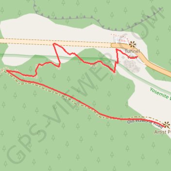
Import a GPX file

Artist Point

Hike from the Tunnel View to the Artist Point in the Yosemite National Park. #Hiking #Nature #Mountain #Forest #Park #Yosemite

  • Distance: 1.5 Km
  • Elevation gain: 154 m
  • Maximum elevation: 1,499 m
  • Elevation loss: 65 m
  • Minimum elevation: 1,344 m

Interactive trail map

Trail profile

  • Distance: 1.5 Km
  • Elevation gain: 154 m
  • Maximum elevation: 1,499 m
  • Elevation loss: 65 m
  • Minimum elevation: 1,344 m

About this trail

Name: Artist Point trail, distance, elevation, map, profile, GPS track

Start: Wawona Road, Mariposa County, California, United States (37.71513 -119.67666)

End: Old Wawona Road, Mariposa County, California, United States (37.71264 -119.67546)

Coordinates: 37.71264 -119.68250 37.71558 -119.67546

Gear up for your next adventure:

📟Satellite Messengers - Two-way satellite communication to stay in touch beyond the cellular grid
📱Tablet Tripod Mounts - Steady platforms for viewing digital maps or taking long exposures
🍴Titanium Spork & Cutlery - Indestructible and feather-light eating utensils
📸Action Cameras - Record your journey across interesting topographic features in 4K
🧢Wide Brim Sun Hats - Maximum coverage for the face and neck while out in the open

As an Amazon Associate, this site earns from qualifying purchases at no extra cost to you.