Banrock Station
Interactive trail map
Trail profile
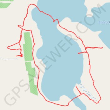
- Distance: 8.9 Km
- Elevation gain: 57 m
- Maximum elevation: 36 m
- Elevation loss: 60 m
- Minimum elevation: 9 m
About this trail
Name: Banrock Station trail, distance, elevation, map, profile, GPS track
Coordinates: -34.20580 140.32805 -34.18962 140.34635
Topography: The District Council of Loxton Waikerie topographic map, elevation, terrain