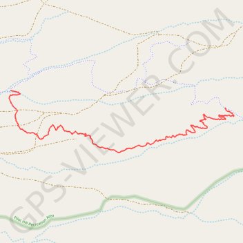
Trail 23
Pilot Hill Recreation Area
- Distance: 3.9 Km
- Elevation gain: 4 m
- Maximum elevation: 2,514 m
- Elevation loss: 149 m
- Minimum elevation: 2,366 m
- Moving time: 20 m 35 s
- Moving speed: 11.2 Km/h
- Maximum speed: 25.7 Km/h
- Total time: 21 m 25 s
- Global speed: 10.8 Km/h
Interactive trail map
Trail profile
- Distance: 3.9 Km
- Elevation gain: 4 m
- Maximum elevation: 2,514 m
- Elevation loss: 149 m
- Minimum elevation: 2,366 m
- Moving time: 20 m 35 s
- Moving speed: 11.2 Km/h
- Maximum speed: 25.7 Km/h
- Total time: 21 m 25 s
- Global speed: 10.8 Km/h
About this trail
Name: Trail 23 trail, distance, elevation, map, profile, GPS track
Start: Trail 23, Albany County, Wyoming, United States (41.30811 -105.47129)
End: Trail 27, Albany County, Wyoming, United States (41.30965 -105.49538)
Coordinates: 41.30440 -105.49557 41.30965 -105.47026