Hosto Hoci
- Distance: 1.2 Km
- Elevation gain: 10 m
- Maximum elevation: 279 m
- Elevation loss: 11 m
- Minimum elevation: 273 m
- Moving time: 20 m 47 s
- Moving speed: 3.5 Km/h
- Maximum speed: 8.3 Km/h
- Total time: 24 m 29 s
- Global speed: 3.0 Km/h
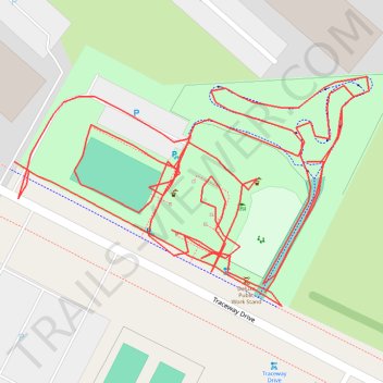
Interactive trail map
Trail profile
- Distance: 1.2 Km
- Elevation gain: 10 m
- Maximum elevation: 279 m
- Elevation loss: 11 m
- Minimum elevation: 273 m
- Moving time: 20 m 47 s
- Moving speed: 3.5 Km/h
- Maximum speed: 8.3 Km/h
- Total time: 24 m 29 s
- Global speed: 3.0 Km/h
About this trail
Name: Hosto Hoci trail, distance, elevation, map, profile, GPS track
Coordinates: 43.02523 -89.41856 43.02604 -89.41685
Other hiking, mountain biking, running and outdoor activity trails
Click on a trail to view its statistics, map and profile.
Capital Springs Recreation Area
United States > Wisconsin > Dane County
Distance: 30.0 Km • Elevation gain: 256 m • Maximum elevation: 333 m