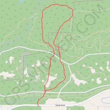
Birds Hill Park - Chickadee Trail
- Distance: 4.1 Km
- Elevation gain: 17 m
- Maximum elevation: 264 m
- Elevation loss: 17 m
- Minimum elevation: 249 m
- Moving time: 58 m
- Moving speed: 4.3 Km/h
- Maximum speed: 6.3 Km/h
- Total time: 1 h 2 m
- Global speed: 4.0 Km/h
Interactive trail map
Trail profile
- Distance: 4.1 Km
- Elevation gain: 17 m
- Maximum elevation: 264 m
- Elevation loss: 17 m
- Minimum elevation: 249 m
- Moving time: 58 m
- Moving speed: 4.3 Km/h
- Maximum speed: 6.3 Km/h
- Total time: 1 h 2 m
- Global speed: 4.0 Km/h
About this trail
Name: Birds Hill Park - Chickadee Trail trail, distance, elevation, map, profile, GPS track
End: Chickadee Trail, Rural Municipality of Springfield, Manitoba, Canada (50.02009 -96.90043)
Coordinates: 50.01873 -96.90169 50.03368 -96.89372