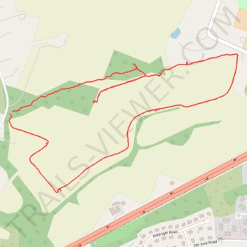
Lazy River Greenway
- Distance: 3.6 Km
- Elevation gain: 31 m
- Maximum elevation: 66 m
- Elevation loss: 30 m
- Minimum elevation: 41 m
- Moving time: 50 m 49 s
- Moving speed: 4.3 Km/h
- Maximum speed: 17.5 Km/h
- Total time: 1 h 2 m
- Global speed: 3.5 Km/h
Interactive trail map
Trail profile
- Distance: 3.6 Km
- Elevation gain: 31 m
- Maximum elevation: 66 m
- Elevation loss: 30 m
- Minimum elevation: 41 m
- Moving time: 50 m 49 s
- Moving speed: 4.3 Km/h
- Maximum speed: 17.5 Km/h
- Total time: 1 h 2 m
- Global speed: 3.5 Km/h
About this trail
Name: Lazy River Greenway trail, distance, elevation, map, profile, GPS track
Coordinates: 40.52908 -74.79647 40.53474 -74.78419