2024-10-07 23:16:21
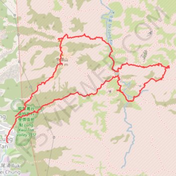
- Distance: 6.5 Km
- Elevation gain: 427 m
- Maximum elevation: 294 m
- Elevation loss: 433 m
- Minimum elevation: 3 m
- Moving time: 3 h 16 m
- Moving speed: 2.0 Km/h
- Maximum speed: 8.6 Km/h
- Total time: 5 h 35 m
- Global speed: 1.2 Km/h
Interactive trail map
Trail profile
- Distance: 6.5 Km
- Elevation gain: 427 m
- Maximum elevation: 294 m
- Elevation loss: 433 m
- Minimum elevation: 3 m
- Moving time: 3 h 16 m
- Moving speed: 2.0 Km/h
- Maximum speed: 8.6 Km/h
- Total time: 5 h 35 m
- Global speed: 1.2 Km/h
About this trail
Name: 2024-10-07 23:16:21 trail, distance, elevation, map, profile, GPS track
Coordinates: 22.38953 113.92264 22.40000 113.93955
Other hiking, mountain biking, running and outdoor activity trails
Click on a trail to view its statistics, map and profile.
2024 4TUL Half Loop Final
China > Hong Kong > Tsuen Wan District > Chuen Lung Village > Chuen Lung Cha Tau Wo
Distance: 89.0 Km • Elevation gain: 2,267 m • Maximum elevation: 535 m