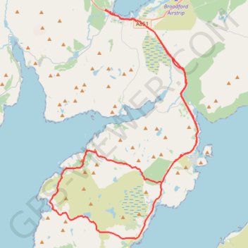
South Skye
- Distance: 64.8 Km
- Elevation gain: 913 m
- Maximum elevation: 195 m
- Elevation loss: 913 m
- Minimum elevation: 0 m
- Moving time: 4 h 8 m
- Moving speed: 15.7 Km/h
- Maximum speed: 45.1 Km/h
- Total time: 5 h 58 m
- Global speed: 10.9 Km/h
Interactive trail map
Trail profile
- Distance: 64.8 Km
- Elevation gain: 913 m
- Maximum elevation: 195 m
- Elevation loss: 913 m
- Minimum elevation: 0 m
- Moving time: 4 h 8 m
- Moving speed: 15.7 Km/h
- Maximum speed: 45.1 Km/h
- Total time: 5 h 58 m
- Global speed: 10.9 Km/h
About this trail
Name: South Skye trail, distance, elevation, map, profile, GPS track
Coordinates: 57.08565 -5.98873 57.24486 -5.79912
Other hiking, mountain biking, running and outdoor activity trails
Click on a trail to view its statistics, map and profile.
Windy Skye
United Kingdom > Scotland > Highland > Broadford > Corry
Distance: 66.4 Km • Elevation gain: 814 m • Maximum elevation: 151 m