Sullivan Rock - Mount Vincent - Mount Cuthbert
Interactive trail map
Trail profile
- Distance: 17.4 Km
- Elevation gain: 426 m
- Maximum elevation: 504 m
- Elevation loss: 426 m
- Minimum elevation: 264 m
About this trail
Name: Sullivan Rock - Mount Vincent - Mount Cuthbert trail, distance, elevation, map, profile, GPS track
Start: Albany Highway, Mount Cooke, Shire Of Wandering, Western Australia, Australia (-32.37964 116.25082)
End: Albany Highway, Mount Cooke, Shire Of Wandering, Western Australia, Australia (-32.38011 116.25044)
Coordinates: -32.38119 116.24166 -32.32651 116.27722
Topography: Western Australia topographic map, elevation, terrain
Other hiking, mountain biking, running and outdoor activity trails
Click on a trail to view its statistics, map and profile.
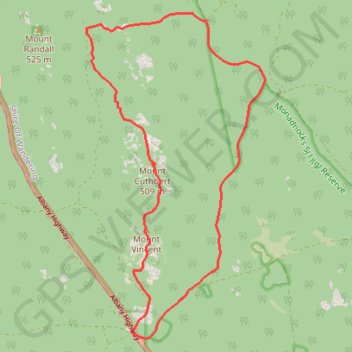
Three Mountains Circuit: Mount Vincent - Mount Cuthbert - Mount Randall
Australia > Western Australia > Jarrahdale
Bibbulmun Track. Monadnocks Conservation Park. #Hiking #Loop #Monadnocks
Distance: 14.7 Km • Elevation gain: 422 m • Maximum elevation: 505 m
Sullivan Rock - Mount Cooke
Australia > Western Australia > Jarrahdale
Distance: 9.7 Km • Elevation gain: 367 m • Maximum elevation: 563 m