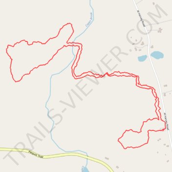
Copps Brook Preserve Hiking Trails - Blue Loop and Yellow Trail
- Distance: 4.6 Km
- Elevation gain: 71 m
- Maximum elevation: 56 m
- Elevation loss: 71 m
- Minimum elevation: 22 m
- Moving time: 1 h 8 m
- Moving speed: 4.1 Km/h
- Maximum speed: 6.4 Km/h
- Total time: 1 h 11 m
- Global speed: 3.9 Km/h
Interactive trail map
Trail profile
- Distance: 4.6 Km
- Elevation gain: 71 m
- Maximum elevation: 56 m
- Elevation loss: 71 m
- Minimum elevation: 22 m
- Moving time: 1 h 8 m
- Moving speed: 4.1 Km/h
- Maximum speed: 6.4 Km/h
- Total time: 1 h 11 m
- Global speed: 3.9 Km/h
About this trail
Name: Copps Brook Preserve Hiking Trails - Blue Loop and Yellow Trail trail, distance, elevation, map, profile, GPS track
Coordinates: 41.38300 -71.93379 41.39024 -71.92154