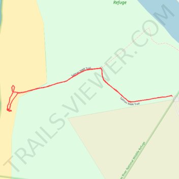
Salinas River National Wildlife Refuge
- Distance: 2.7 Km
- Elevation gain: 5 m
- Maximum elevation: 3 m
- Elevation loss: 4 m
- Minimum elevation: -1 m
- Moving time: 45 m 27 s
- Moving speed: 3.5 Km/h
- Maximum speed: 5.9 Km/h
- Total time: 1 h 34 m
- Global speed: 1.7 Km/h
Interactive trail map
Trail profile
- Distance: 2.7 Km
- Elevation gain: 5 m
- Maximum elevation: 3 m
- Elevation loss: 4 m
- Minimum elevation: -1 m
- Moving time: 45 m 27 s
- Moving speed: 3.5 Km/h
- Maximum speed: 5.9 Km/h
- Total time: 1 h 34 m
- Global speed: 1.7 Km/h
About this trail
Name: Salinas River National Wildlife Refuge trail, distance, elevation, map, profile, GPS track
Start: Salinas NWR Trail, Monterey County, California, United States (36.73448 -121.79699)
End: Salinas NWR Trail, Monterey County, California, United States (36.73482 -121.79396)
Coordinates: 36.73395 -121.80615 36.73652 -121.79396